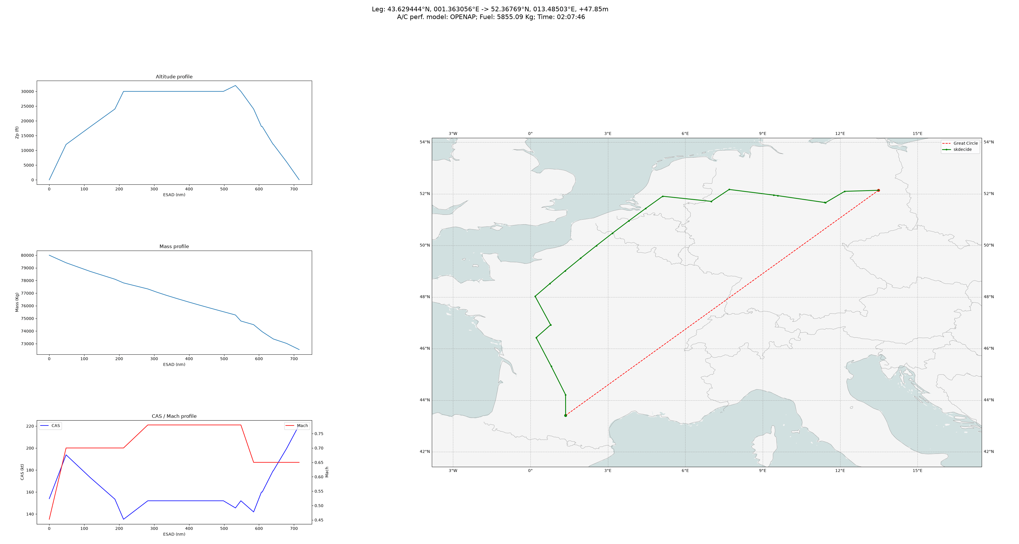
This is the perfect route planning software if you are the only aircraft in the sky, and fuel is your only cost. The commercial solutions exist because they consider not only the winds and fuel costs in their optimization, but also known previously cleared ATC routings, altitude restrictions whether they are charted or only documented by letter-of-agreement, expected delays due to historical congestion, pilot and cabin crew pay, crew duty time limits (your more fuel efficient route may take longer and require an entire second crew), contracted lease, finance, insurance, and maintenance rates as these are also frequently paid by the the hour, and airport arrival curfew times. And probably a few more things too.
Also, you say nothing about incorporating ETOPS routing requirements into your application, and looking at the opentop source neither does it, therefore I assume this must mean this is the first time you have seen that acronym and therefore do not understand its criticality in determining aircraft routing. Might want to have your AI agent read this Wikipedia article, because your application generates many routes that are not legal to fly.
https://en.wikipedia.org/wiki/ETOPS
Should I even ask if this application routes around areas that have been declared active war zones by NOTAM?